Australia Weather News
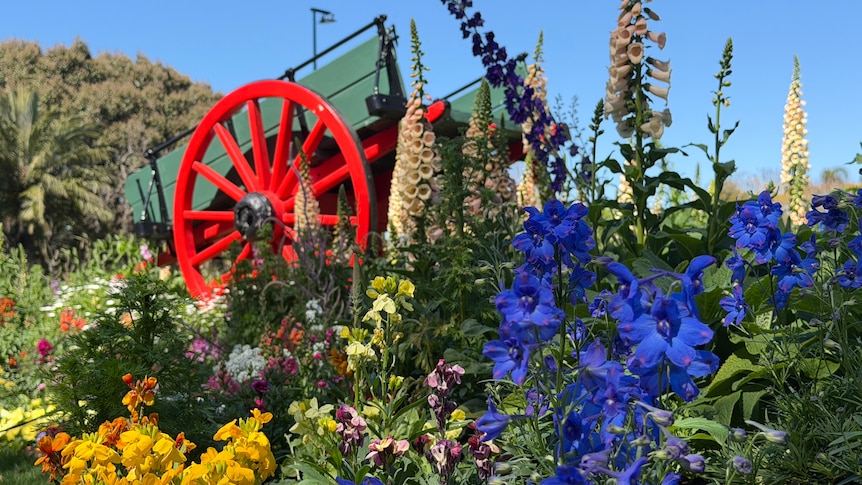
A warm winter and subsequent hot start to spring have brought colourful blooms out in Toowoomba. (ABC Southern Queensland: Dan McCray)
Queenslanders lapped up sunny skies over the weekend but can expect possible showers for the east coast from Tuesday.
The Bureau of Meteorology said the state was experiencing above-average temperatures for this time of year.
Emergency services are continuing to battle fires across central and south-east Queensland, including a blaze near Gladstone that police allege was deliberately lit.
"The weather at the moment is dominated by high-pressure bridging, which is extending up to the east coast," meteorologist Denver Richter said.
"What that means is that smoke can't really escape into higher areas of the atmosphere.
"It is possible if those fires arc up a little bit that some more thick smoke will form and it's advised that people stay inside and close windows and doors if that does happen."
The high-pressure ridge is also generating heavy morning fog in parts of the state, which could linger into midway through next week.
"If you find yourself driving in fog, definitely slow down, get your fog lights on and give each other plenty of space," Mr Richter said.
High-risk bushfire season
Rural Fire Service Queensland Chief Superintendent Shaun Toohey said above-average temperatures and strong winds coming off the deserts west of southern Queensland have made for a high-risk bushfire weekend.
"With those winds coming through, we're expecting them to be between 20 and 30 kilometres per hour, although that can obviously vary, with gusts exceeding those forecasts," Mr Toohey said.
He said one of his big concerns was people slashing or mowing long grassy areas, and that this weekend's winds could cause accidental sparks to get out of hand quickly.
"Those sorts of activities are best done in the late afternoon as the temperature drops and conditions ease. It's better to wait until those conditions have subsided altogether," he said.
"We're expecting to get back into a more stable environment around Monday night."
Mr Toohey said crews had been busy back-burning all winter and now additional resources were positioned in areas facing the greatest risk.
"We've made a really targeted effort to push a lot of those resources into the areas where we need them most," he said.
"It's all about focusing on those areas and making sure we're bringing in that surge capacity to help local crews get those jobs done."
Spring rainfall
Showers are expected across the east coast on Tuesday and will continue until the weekend.
"Showers will initially be light, up to a few millimetres, before increasing to 3 to 10mm in the south-east, and up to 20mm on the north Tropical Coast from Thursday to Saturday due to an increase in the onshore winds," a BOM spokesperson said.
"Further inland, there will be patchy cloud through the week but no rainfall is expected."
ABC