Australia Weather News
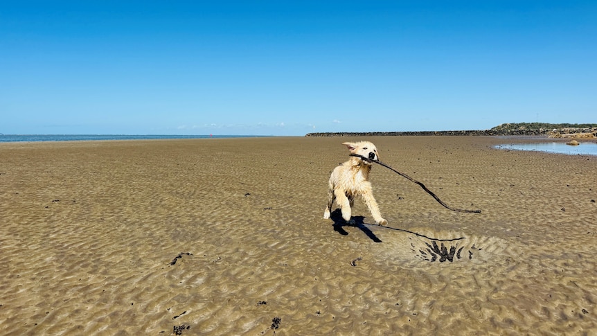
Georgie the dog can enjoy more sunshine across the Capricorn Coast this weekend. (ABC Capricornia: Aaron Kelly)
Queensland is set for an early taste of spring this weekend, with sunshine forecast across most of the state and temperatures on the rise heading into September.
Bureau of Meteorology senior meteorologist David Crocker said coastal areas would see a few showers, particularly around the Sunshine Coast and K'gari, as well as along the north tropical coast.
"[It will be] quite warm inland and plenty of sunshine across the majority of the state, just a few coastal showers about in the usual places," he said.
The showers are forecast to intensify on Sunday, particularly along the north coast, before an upper trough is expected over the Sunshine Coast on Sunday.
Mr Crocker said the trough would bring heavier showers to the region before pushing inland towards Kingaroy and Gayndah on Sunday afternoon.
Brisbane residents are likely to escape the wet weather, with partly cloudy conditions and temperatures reaching the mid-20s.
However, an isolated shower is possible on Sunday as rain moves across the Sunshine Coast.
Further north, Townsville to Bowen is expected to remain mostly dry, although strong winds and hazardous surf are forecast from the Townsville coast to areas north of Port Douglas.
"There'll be strong wind warnings up on the peninsula for Saturday," Mr Crocker said.
"The strong winds back off a bit in the days following that."
Hazardous surf is also forecast for south-east Queensland early next week, with swells reaching 1.5 to 2 metres.
Temperatures warming up
As September begins, westerly winds are expected to push warm air towards the coast, with temperatures in Brisbane and Ipswich predicted to nudge towards the 30s.
"We're really into that time of year when the hot air masses start to build over Western Queensland and inland Australia more generally," Mr Crocker said.
"When the conditions are right, that hot air comes through to the coast.
That's pretty typical for this time of year."
Mr Crocker described the pattern as "pretty stable" but said a final cold snap could not be entirely ruled out.
"It's still possible that we could get a burst of cold air later in September, but it becomes increasingly difficult as you get later into September and the continent starts to heat up."
ABC