Australia Weather News
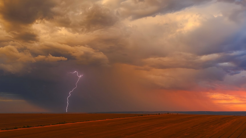
Stormy weather is forecast to impact huge parts of southern Western Australia this weekend. (ABC Midwest & Wheatbelt: Chris Lewis)
Perth and large parts of Western Australia's south are preparing to batten down the hatches ahead of a severe storm set to pummel the region on the weekend.
Destructive wind gusts of around 125 kilometres an hour and heavy rainfall are expected across the South West land division, beginning on Saturday evening.
Bureau of Meteorology (BOM) forecaster James Ashley described the system as "an unusually strong and intense winter system".
"Starting from Saturday evening, winds and rainfall will increase significantly around the central west coast, moving southwards and extending eastwards over Sunday and Monday," he told journalists.
"The system will whip up the ocean with waves reaching up to eight metres offshore.
"That's likely to cause some beach erosion, particularly around the time of high tides on Sunday and Monday mornings."
The Swan River could also be affected.
Rainfall of up to 50 millimetres is expected in coastal areas, which will ease as the system moves east, he said.
Mr Ashley urged residents to stay up to date with BOM warnings.
"This winter system is unusually strong. It's the type of system we don't see very often in the south-west of WA," he said.
"It's likely to be the strongest winter system we see this year and maybe the sort of system we only see every four or five years or so."
The wet weather comes as much of the southern half has experienced below-average rainfall across the month.
BOM senior meteorologist Jessica Lingard said it was the first significant weather system for this time of year and could be destructive.
“We’ve had a very dry autumn, and then you get a system like this that will bring a lot of damage with it, a lot of tree branches will come down, some of those more brittle trees will potentially be knocked over," she said.
“The last time we had a weather system this strong come through, there were about 600-odd calls for help for the SES, so we’re expecting similar levels for requests for help."
She said conditions could be quite dusty in parts of the Great Southern and Central Wheatbelt on Saturday, ahead of the cold front arriving.
Flash flooding possible
A number of severe weather warnings have already been issued for residents along WA's south coast.
Heavy rainfall could lead to flash flooding in the central west district area, with six-hourly rainfall totals expected to reach 60 mm.
Damaging surf conditions expected over the weekend could lead to coastal erosion between Gregory, south of Kalbarri through to Cape Leeuwin.
Travellers warned
Department of Fire and Emergency Services assistant commissioner Paul Carr said those travelling in the region over the long weekend should take precautions.
"We also urge long weekend travellers who may be travelling in areas where there is heavy tree foliage along road verges or camping in areas underneath trees to be wary of the weather coming and take action where needed," he said.
He said residents in the South-West and Great Southern should lock down loose objects around their homes and trim overhead branches as early as possible.
"Make sure that you have your emergency kits ready," he said.
"Charge up all your devices before the weather comes in. Get a battery-operated radio, because if the power does go out, you will actually need that to listen to the alerts and warnings."
Perth's forecast: