Australia Weather News
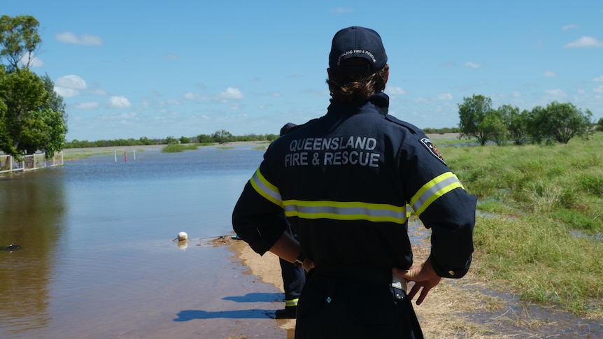
Queensland Fire and Rescue teams have been deployed throughout every region where flooding is expected. (ABC News: Hannah Walsh)
Blue skies may have returned for flooded parts of Queensland but forecasters are watching a tropical low that could strengthen into a cyclone later in the week.
Weekend rainfall totals between Cooktown and Port Douglas topped 400 millimetres in some parts as storms continued to top up flooded creeks and rivers.
Though the Bureau of Meteorology (BOM) has predicted rain to have eased, a tropical low in the eastern Coral Sea has a chance of making landfall and bringing more rain and heavy winds towards the end of the week.
But the forecaster said its path was uncertain.
"Whether or not that occurs, this will be a weather system to watch," senior meteorologist Angus Hines said.
BOM has forecasted tropical low 34U, which is sitting in the eastern Coral Sea, has a moderate, or 25 per cent chance, of forming into a cyclone from Tuesday night as it moves west towards the far north coast.
The likelihood has increased to 35 per cent later in the week and it could bring severe weather to the region if it makes landfall.
"If this system continues to move westward … it could approach and maybe even move onto the far north of Queensland, either as a cyclone or a tropical low," Mr Hines said.
"In either scenario it looks likely it would bring some very heavy rainfall onto areas probably north of Cairns, also some very strong winds, potentially gale force, and dangerous ocean conditions."
He said there was a chance the impacts could affect coastal areas to the south of Cairns.
Meanwhile, though major floodwaters are expected to recede on Monday at Longreach, downstream residents along the Thomson River are preparing to see the river continue to rise as floodwaters arrive later in the week.
On Monday morning, the river was at 6.15 metres, just a small drop from its 6.16-metre peak on Sunday.
Far north stays wet
BOM has predicted the worst of the rainfall is over for now following severe storms and heavy rainfall over the weekend.
The gauge at Rex Creek, at Mossman Gorge, recorded 48 hour totals of 479mm to 3pm on Sunday.
Cairns recorded 322mm in 48 hours.
Swollen waterways are expected to begin to recede from Monday.
Douglas Shire Local Disaster Management Group deputy chair Damian Meadows said March was traditionally the wettest month for the region.
But he said the sustained rainfall over a "longer period of time" had exacerbated the flooding and caused greater water run-off.
"If the rain gave us a break for a couple of weeks, some of that soil moisture might dissipate," Cr Meadows said.
Warnings after rescues
Emergency services have continued to urge people to not drive through floodwaters following two rescues in the far north on Sunday morning.
In Cairns suburb Kameranga, swiftwater rescue teams were called to a woman who was trapped on the roof of her car on Lower Freshwater Road about 4:30am.
Another woman was also rescued from her car roof after driving through fast-rising waters in Mossman, with emergency crews receiving calls at 5:50am.
Queensland Fire and Rescue's swiftwater rescue and drone crews have been deployed throughout the Far North region and around Quilpie, Bundaberg, Maryborough and Longreach.
Southern rivers still rising
A major flood warning was issued on Sunday for the Upper Balonne River near Surat, south of Roma with rivers expected to peak at 10.8 metres on Monday.
The river reached major flood levels on Saturday but has eased in parts to the north; however, it is expected to remain at major flooding levels at Warkon until Tuesday.
The Thomson River at Longreach peaked at 6.16m on Sunday, but did not reach residential properties in the town.
The river reached major flooding levels but was shy of the February 2000 flood which peaked at 6.95m.
Moderate to major flooding is expected downstream of Longreach at Stonehenge and could begin rising from Tuesday to later in the week.
"The rivers out over western Queensland are very long and very flat, so the water doesn't flow particularly quickly," Mr Hines said.
Cooper Creek at Windorah is expected to remain at the major flood level for several days.
ABC