Australia Weather News
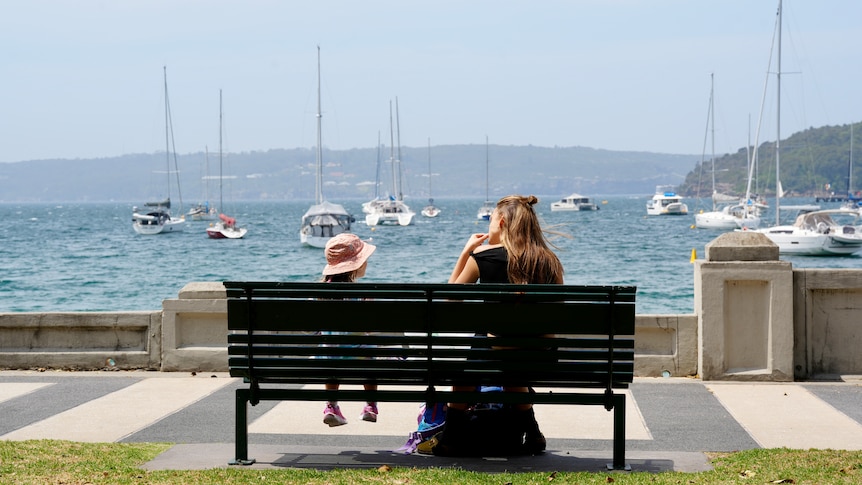
Sydney is set to scorch over the next couple of days. (ABC News: Abbey Haberecht)
Just days into summer and a broad heatwave is already spreading across the country.
Throughout southern states, the burst of heat is short and sharp, sending temperatures more than 10 degrees Celsius above average and raising fire dangers to extreme.
For the northern outback though, the heat will linger well into next week, with oppressive daily temperatures well above 40C.
And according to the Bureau of Meteorology's (BOM) latest modelling, the current heatwave is just the beginning of what should transpire into one of Australia's hottest summers on record.
Wave of heat travelling coast to coast
A broad mass of hot air started the week along the west coast, bringing Perth's hottest start to summer on record with a Monday high of 39C.
By Thursday, a north-westerly airstream had carried the wave of heat to south-east states — Adelaide and Melbourne both reached 35C, their warmest days since March.
While cooler onshore winds have now brought relief to Australia's southern coastline, the north-westerlies will continue to increase temperatures across the interior and NSW on Friday.
Maximums will reach the low to mid 40s in a broad swathe of the outback from the Pilbara and Kimberley to western NSW, including predicted tops of 45C in Fitzroy Crossing, 44C at Oodnadatta and 42C in Ivanhoe.
However, the highest temperatures relative to average will impact eastern NSW, including highs near 40C in Western Sydney.
For Sydney suburbs closer to the coast, the ever-reliable divergence to a cooler north-easterly off the Tasman Sea should limit highs to the mid-30s.
The highest fire dangers on Friday at 'extreme' will impact the Riverina and Mallee, where temperatures from 38C to 41C will combine with winds to 45 kilometres an hour and humidity down around 10 per cent.
Severe heatwave for NSW coast to peak Saturday
The belt of fresh winds will shift north on Saturday and result in temperatures peaking over northern and eastern NSW, with an extreme fire danger from the state's north-west through parts of the central inland to the Hunter, Sydney and Illawarra/Shoalhaven.
For Sydney, the region of 40C heat will expand to within about 20 kilometres of the coast, while outer western suburbs peak at 41C, as much as 12C above average.
Penrith may record its first pair of successive 40C days since 2023, while the city could record two consecutive days above 35C for the first time in five years.
Away from Sydney, much of the Hunter, Illawarra and Central West will also nudge 40C on Saturday, while the state's north-west bakes in tops up to 43C in Bourke and Brewarrina.
However, while the outback sweats through the highest temperatures, a heatwave warning is only in force near the coast.
The BOM has assigned a 'severe' rating to the heatwave from the Hunter to South Coast, which indicates challenging conditions for vulnerable people if precautions are not taken to keep cool.
So why is the heatwave considered more intense near the coast?
The BOM uses what's called the excess heat factor (EHF) to monitor and forecast heatwaves, which includes a comparison of the temperatures for a three-day period with a region's normal climate, and also the observed temperatures over the past 30 days.
In simple terms, according to the BOM, "the EHF measures how much of a shock to the body the forecast temperatures will be, compared to the weather over the past month".
This method ensures a hot city like Darwin is not warned of a heatwave every day, and a cooler city like Hobart is warned during spells of relatively high temperatures, even though they may seem cool by mainland standards.
The calculation for a heatwave is also based off the minimum temperature and the maximum, since cooler nights allow some recovery from each day's heat.
Around Sydney, Saturday minimums will range from about 20 to 23C, up to 5C above average, while Saturday night could remain above 30C until near midnight.
Southerly buster ahead for NSW, but summer tipped for a scorcher
As with most heatwaves over southern Australia, cool relief will arrive quickly and Sydney can expect a 24-hour temperature drop close to 15C.
A southerly buster should reach the far South Coast during Saturday evening, track to Sydney in the early hours of Sunday, and reach the Mid North Coast on Sunday afternoon.
For northern Australia, relief from a heatwave often requires cloud cover and rain since southerlies in summer often fade well before reaching the tropics.
With only isolated showers and thunderstorms ahead during the coming days, a broad belt from northern WA to north-west Queensland can expect highs above 40C to persist well into next week.
Looking further ahead, another burst of hot winds from the north should reach southern states later next week — a pattern which could frequently repeat this summer, according to the BOM's seasonal outlook.
The latest modelling released by the bureau yesterday indicates maximum temperatures this summer should land at about 1C to 2C above the long-term average across most of Australia.
At these levels, the season's mean temperature would land in the top five warmest on record comparing all summers since 1910.
ABC