Australia Weather News
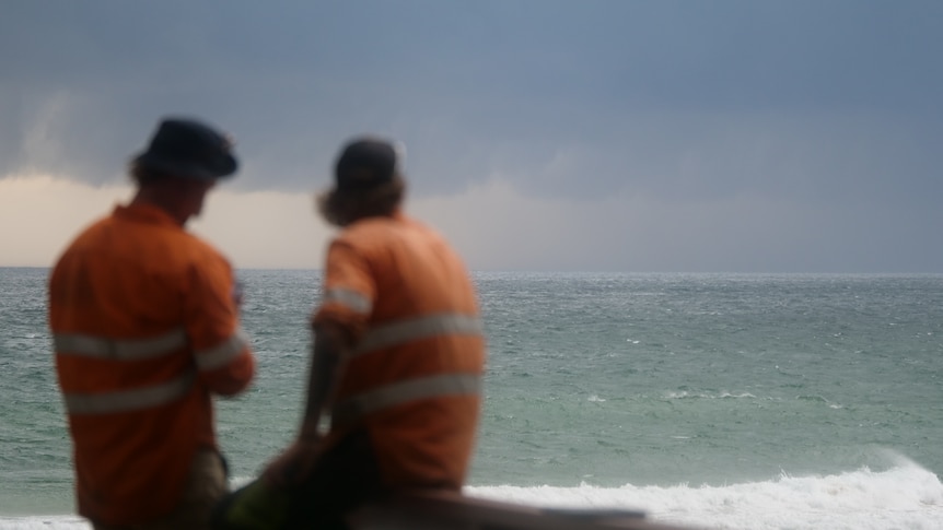
The Gold Coast could receive more than 100 millimetres of rain this week. (ABC Gold Coast: Dominic Cansdale)
After a warm and clear start to the week, wet weather will begin drenching parts of the state from today.
Showers are set to build across the south-east, with the Gold Coast in line for the heaviest falls midweek before a colder, drier change clears skies again into the weekend.
The Bureau of Meteorology forecasts 20–50 millimetres of rain across south-east Queensland midweek, with the Gold Coast possibly receiving more than 100mm.
Bureau of Meteorology senior meteorologistFalim Hannify said there was a high chance of showers forecast for Wednesday and Thursday with isolated showers extending inland.
He said heavy falls were possible in coastal pockets with some showers pushing inland towards Brisbane and the Scenic Rim.
"Certainly we are heading into a more active, unsettled and quite wet period to the middle of this week," Mr Hannify said.
The Wide Bay and Fraser Coast are expected to experience patchy rain midweek, though totals there should be lighter.
Further north and west, the weather is expected to stay largely clear apart from a few sprinkles along the northern coastline.
Cooler mornings ahead
By Friday the rain will have cleared and a burst of cold, dry air will move across Queensland, bringing some chilly starts, especially for inland areas.
Brisbane and the Gold Coast could experience overnight lows between 8 and 12 degrees Celsius, while western towns such as Longreach and Charleville may drop to about 5 degrees.
"Overnight minimums will be a couple of degrees above average [mid-week] … but daytime maximums under that cloud cover [will be] probably back to near average, if not a little bit below average," Mr Hannify said.
Frost is expectedin parts of the Darling Downs and Granite Belt.
Daytime conditions will stay comfortable with highs in the high teens to low 20s.
Looking to the weekend
Skies will begin to clear on Friday with brighter, drier conditions expected across most of Queensland into Saturday.
The bureau's weekly forecast reports that the south-east might still experience the odd coastal shower, but the outlook is improving.
Brisbane is expected to climb into the mid-20s with inland centres reaching the high 20s.
A gentle westerly breeze is also expected to keep things pleasant.
Far north and west
Up north it is mostly good news as Far North Queensland will experience plenty of sunshine this week with just the odd light coastal shower midweek.
But Mr Hannify said the showers would total only a couple of millimetres at best.
"Not completely insulated from the shower activity, though it will be more of a hit-or-miss affair over this part of the state," he said.
Daytime temperatures will sit in the mid-20s to about 30 degrees, and nights will stay mild between 11 and 18 degrees.
Mr Hannify said it was a similar story in the west with Mount Isa and Longreach staying dry and clear.
Sunny days are expected in the mid-to-high 20s with cooler nights in the single figures.
"That gusty dry south-easterly wind is helping to elevate the fire danger here and that will persist over the next few days," Mr Hannify said.
He said the Gulf of Carpentaria and the far west would have chilly mornings for most of this week.
ABC