Australia Weather News
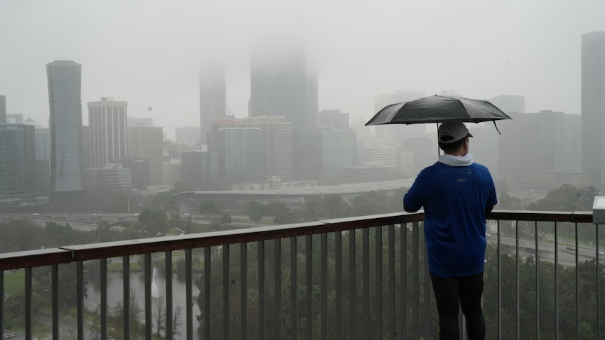
A man surveys the gloomy Perth skyline from Kings Park. (ABC News: Aran Hart)
A severe weather warning for parts of the metropolitan area up to Jurien Bay has been cancelled.
However, authorities are still keeping a close watch on the Avon Descent in case heavy rainfall east of Perth causes river levels to rise during the white water event on Sunday.
Earlier on Saturday, the Bureau of Meteorology issued a severe weather warning for heavy rainfall with flooding possible for the Lower West, including Perth, southern parts of the Central West and far western parts of the Central Wheatbelt.
Areas north and east of Perth have already seen decent falls, with Muchea recording 60mm of rain in the six hours to 3.15pm, while Werribee recorded 55mm.
Lancelin, north of Perth, recorded 44mm in the three hours to 9.45am.
A rainband moved over the South West Land Division and is expected to clear throuhout the evening, with a weak cold front to follow in its wake.
All eyes on Avon Descent
While recent rainfall did not seriously impact the first day of the Avon Descent, BOM forecaster Angeline Prasad said heavy falls could potentially reach far enough inland and increase the river levels for the second day of the white water event.
"It is possible that we will see rises in the river over the next 24 hours with this type of rainfall," she said.
"At this stage we're not looking at issuing a flood watch but it's something that we'll keep in mind, especially if those heavier falls extend further inland.
"At this stage, I'm expecting the heavier falls to stay along the coast, but it's something that we're watching very closely."
Rain not reaching agricultural areas
Those in Perth or coastal parts of WA's south have endured a wet, and sometimes wild, winter.
[Cold front explainer]However, Ms Prasad said those weather systems were not travelling far enough inland to get rain to much of the state's agricultural areas.
"This winter has been wetter than normal across some parts of the western South Coast but there are still vast areas inland of the South West land division that haven't seen the rainfall they should have," she said.
"Inland parts have had rainfall but in dribs and drabs.
"So what's been happening is we have seen quite a few strong cold fronts and quite frequent frontal activity this winter but as the fronts have moved inland, they have weakened off fairly rapidly," she said.
"So we're still travelling below average for large agricultural areas over inland parts of the South West Land Division."
ABC