Australia Weather News
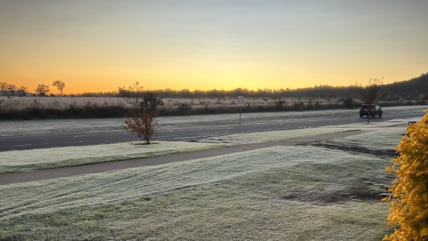
Frost patches are likely in the south of the state today. (ABC News: Vicki Thompson)
Unsettled is how Bureau of Meteorology senior forecaster Felim Hanniffy describes this week's weather for Queensland.
"We'll see a cool start today across the southern interior, north west and far west with patchy frost," he said.
"Some showers are likely around the southern and northern interior, they could be more widespread around the Sunshine Coast."
The further east you go, the warmer it will be, with the chance of fog along the coast north of St Lawrence.
"The theme this coming week overall is a lot more unsettled," Mr Hanniffy said.
The next weather system will come in from the west on Tuesday and Wednesday, bringing more cloud and scattered showers.
"The main watch point probably is a more significant weather system later in the week moving into the south west late Thursday, Friday and into the weekend," he said.
"It will bring a potentially significant cloud band with widespread rain across much of the interior moving east on Friday.
"The week could end on a rather wet note across the state."
The south-east inland could also see some mid-week thunderstorms.
Overnight temperatures will be below average tomorrow, but as the cloud cover moves across the state, they will be well above average on Wednesday.
"Daytime temperatures are generally on the warmer side this week, especially towards the end of the week, but should drop with that extensive cloud cover over the weekend," Mr Hanniffy said.
"The bottom line is this week in comparison to recent weeks, where it's been mostly cold mornings and frosty conditions in the interior, this week looks a lot more unsettled broadly across the state and less cold across the middle of the week and quite wet.
"The watch point is the latter part of the week, which could bring quite unseasonal rain to much of the interior."
ABC