Weather Warning
IDQ21137
Australian Government Bureau of Meteorology
Queensland
Coastal Hazard Warning
Issued at 10:59 PM EST on Saturday 23 May 2026.
Weather Situation
Damaging surf conditions for south east Queensland.
Weather Situation: A low pressure system in the northern Tasman Sea is continuing to enhance winds and swells over south east Queensland waters this weekend. The low is expected to move slowly east during today.
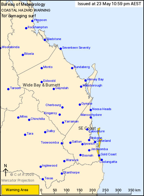
DAMAGING SURF CONDITIONS which may lead to coastal erosion and localised damage to coastal infrastructure are possible between Cape Moreton and Point Danger, particularly for south to southeast facing beaches.
Beach conditions in these areas could be dangerous and people should stay well away from the surf and surf exposed areas.
Damaging surf conditions are expected to ease overnight tonight.
Locations which may be affected include Gold Coast, Coolangatta, Moreton Island and North Stradbroke Island.
The Brisbane wave buoy has reported a significant wave height of 5.18m at 8:00pm on Friday.
The Tweed wave buoy has reported a significant wave height of 5.00m at 11:30pm on Friday.
A separate Hazardous Surf Warning is current at the time of issue.
Emergency services advise people to:
- * Know your limitations around beaches, tidal rivers and creeks. Adhere to warning from lifesavers and lifeguards .
- * If you have a boat or water craft, haul out if possible or check your moorings are secure.
- * If you have children make sure they are within arm's reach around the water.
Check https://www.bom.gov.au/weather-and-climate/warnings-and-alerts. Warnings are also available through TV and Radio broadcasts or call 1300 659 210. The Bureau and emergency services would appreciate warnings being broadcast regularly.