Australia Weather News
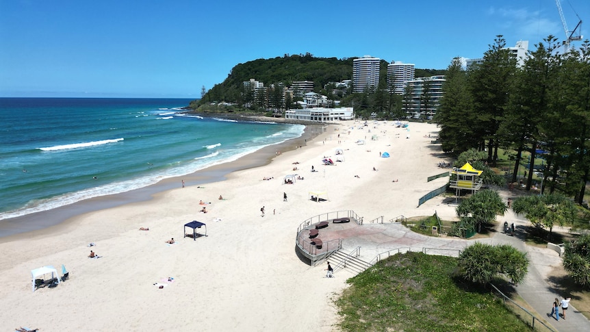
The weather bureau warns heavy rains from this evening could lead to flash flooding in parts of south-east Queensland. (ABC News: Mark Leonardi)
South-East Queensland is being warned to expect "heavy, locally intense rainfall" that will top 150mm in some areas from this afternoon, as the region endures scorching hot conditions.
The soaking rains could lead to flash flooding.
The severe weather warning issued at lunchtime covers towns from the Sunshine Coast to the New South Wales border and west beyond Toowoomba.
"Heavy, locally intense rainfall, which may lead to dangerous and life-threatening flash flooding is forecast to develop about the south-east coast from late Thursday evening," it reads.
"Six-hourly rainfall totals between 50mm to 90mm are likely, with isolated higher falls to around 150mm possible."
The warning names the Gold Coast, Toowoomba, Brisbane, Dalby, Kingaroy, Caboolture, Ipswich, Gatton, Cleveland, Cherbourg, Jimboomba and Kilcoy as potentially affected areas.
Parts of Brisbane could cop 150mm
Today, senior forecaster Liam Smart said Brisbane could expect "isolated totals of upwards of 150mm" tomorrow.
"We're talking about some big falls on the forecast for tomorrow," he said.
"We're currently looking for the Brisbane area, a good 25 per cent chance of 120mm of rainfall.
"There could even be isolated totals of 150mm at times.
"And as that pushes into Saturday, the risk does decrease for higher falls, but they're still generally quite high, especially considering we've had a pretty dry January."
The Queensland capital could be drenched by up 210mm from Friday to Sunday if rainfall reaches the higher numbers forecast by the weather bureau.
Minor flooding is possible for some catchments across south-east Queensland, as well as in the Wide Bay and Burnett region.
An initial flood warning has been issued.
Catchments likely to be affected include the Dawson and Don Rivers, Mary River, Upper Brisbane River, Lower Brisbane River and Logan and Albert Rivers.
In western Queensland, minor flood warnings have been issued for the Cooper Creek at Windorah and the Diamantina River at Birdsville.
South-east swelters
The promise of rain follows heatwave conditions that have pushed temperatures as high as 9 degrees above average.
Surfers Paradise on the Gold Coast hit 35 degrees Celsius at 1pm, and Boonah in the Scenic Rim reached 37 degrees, three above the forecast maximum.
On the Sunshine Coast, Mooloolaba reached 33C, while on the southern downs, Toowoomba is expected to peak at 34C through the afternoon.
Thunderstorms in the west, low brewing off FNQ coast
Shower and storm activity are also anticipated in the state's west, with decent rainfall expected from the border and Mount Isa through to Longreach and moving east to Charleville and Roma.
This morning, the BOM issued a severe thunderstorm warning for far south-west Queensland, with heavy rainfall expected to affect Ballera, Orientos and Nappa Merrie.
Mr Hayes said the activity was being driven by a significant trough lying through inland parts of the state.
"Pushing into the Channel country, we're starting to see shower and storm activity that will deliver increased activity through the day," he said.
"That will become fairly widespread and deliver potentially severe thunderstorms through parts of the south-east, particularly on Friday."
Meteorologists are keeping a close eye on a tropical low building in the Coral Sea east of Townsville.
The system, 23U, is generating thunderstorm activity offshore that is likely to deliver rainfall over the Cape York vicinity.
Mr Hayes said the low itself remained weak for now.
"It could move closer to the Queensland coast over the weekend, which is potentially when we'll see heavier falls around the Townsville to Mackay area," he said.
ABC