Australia Weather News
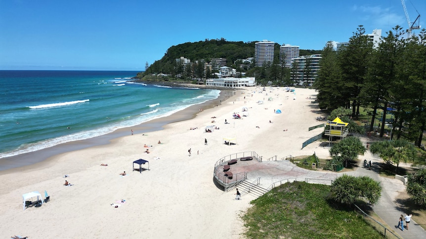
A locally intense heatwave will peak across south-east Queensland on Thursday. (ABC News: Glenn Mullane)
A heatwave causing south-east Queensland to swelter is set to peak on Thursday, with temperatures as high as nine degrees above average expected in parts of the state.
Surfers Paradise on the Gold Coast is tipped to reach 32 degrees Celsius today, with Boonah in the Scenic Rim bracing for a maximum temperature of 34C.
On the Sunshine Coast, Mooloolaba is forecast to reach 33C, while on the southern downs, Toowoomba is expected to peak at 34C.
However, forecasters say relief is on the way, with the heat set to be dampened by scattered thunderstorms falling across the region, which could bring heavy rainfall and see temperatures drop drastically over the weekend.
Daniel Hayes from the Bureau of Meteorology said the widespread shower activity was expected.
"It's been one or two degrees above average through much of the state … that will jump again [Thursday] around the southern inland and south-east," he said.
"There's quite a bit of moisture being pulled down into the south-east … as the trough moves through, we'll see cooler air coming through and widespread showers."
Rainfall totals between 10 and 20 millimetres are expected on Thursday, he said,while continued downpour over the course of the weekend could see three-day totals in the 50 to 100 millimetre range.
"Totals in isolated locations in the south-east could exceed 100 millimetres over the course of the three days," Mr Hayes said.
Minor flooding is possible for some catchments across south-east Queensland, as well as in the Wide Bay and Burnett region.
Catchments likely to be affected include the Dawson and Don Rivers, Mary River, Upper Brisbane River, Lower Brisbane River and Logan and Albert Rivers.
In western Queensland, minor flood warnings have been issued for the Cooper Creek at Windorah and the Diamantina River at Birdsville.
Thunderstorms in the west, low brewing off FNQ coast
Shower and storm activity is also anticipated in the state's west, with decent rainfall expected from the border and Mount Isa through to Longreach and moving east to Charleville and Roma.
This morning, the Bureau issued a severe thunderstorm warning for far south-west Queensland with heavy rainfall expected to affect Ballera, Orientos and Nappa Merrie.
Mr Hayes said the activity was being driven by a significant trough lying through inland parts of the state.
"Pushing into the Channel country, we're starting to see shower and storm activity that will deliver increased activity through the day," he said.
"That will become fairly widespread and deliver potentially severe thunderstorms through parts of the south-east, particularly on Friday."
Meteorologists are keeping a close eye on a tropical low building in the Coral Sea east of Townsville.
The system, 23U, is generating thunderstorm activity offshore that is likely to deliver rainfall over the Cape York vicinity.
Mr Hayes said the low itself remained weak for now.
"It could move closer to the Queensland coast over the weekend, which is potentially when we'll see heavier falls around the Townsville to Mackay area," he said.
ABC