Australia Weather News
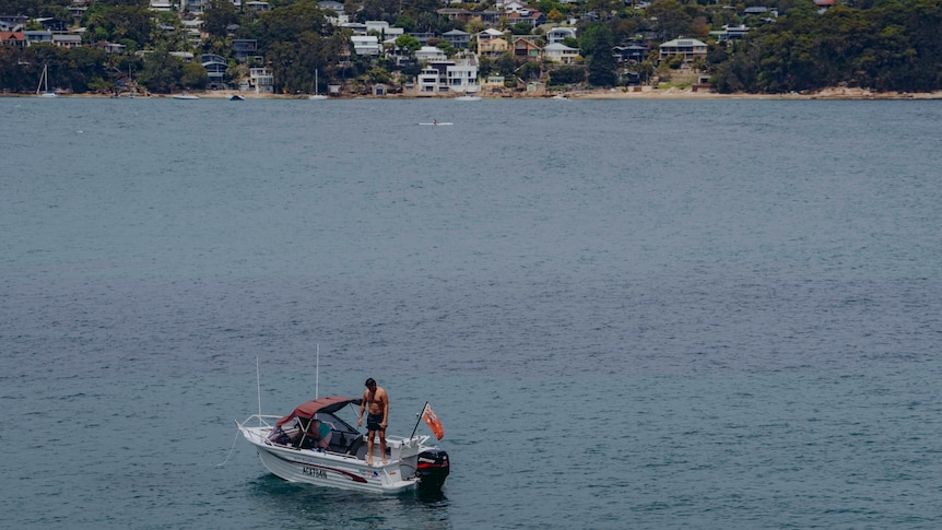
Temperatures in some parts of Sydney are heading towards 40 degrees Celsius. (ABC News: Liam Patrick)
Temperatures are soaring in New South Wales, while people in Victoria and South Australia are reckoning with cyclone-strength winds on a day of wild weather in the country's south and east.
Total fire bans have been declared across several regions in NSW, with Extreme Fire Danger forecast for Greater Sydney, Greater Hunter, Illawarra/Shoalhaven and the Upper Central West Plains.
NSW RFS Commissioner Trent Curtin said high fire danger was anticipated across the day.
"Today we're going to see very high temperatures in the high 30s and possibly low 40s across parts of NSW, combined with very strong winds that will be in the 40[kph] range, but gusting anywhere up to 60 and 80 kilometres across parts of those areas," he told ABC's News Breakfast.
"We'll see high fire danger across most of the state but extreme fire conditions across parts of the state."
Commissioner Curtin urged NSW residents to be fire aware and have plans in place.
He said preparations from the RFS were underway, with volunteers and available aircraft ready to respond.
"We're preparing ourselves for an above-average bushfire season this year," Commissioner Curtin said.
Temperatures in Richmond in north-west Sydney and Parramatta in the city's west were close to 39C at 2pm, with Sydney's Observatory Hill about 36C.
Senior meteorologist Miriam Bradbury said temperatures were tipped to reach close to 40 degrees Celsius across large parts of NSW.
"We may potentially see some of the warmest October days on record and new records set in the broader Sydney metro area if we see those high temperatures reaching into those high 30s," she said.
"We will see temperatures gradually dropping in the overnight period, but unfortunately it's not until we get to those very high daytime temperatures today."
Victorians and South Australians are being warned to brace for cyclone-strength winds and power outages, as damaging winds up to 120kph are expected to batter Australia's south coast on Wednesday.
A severe weather warning has been issued for the vast majority of Victoria and parts of south-eastern SA.
The weather system with destructive winds began crossing the Victoria/SA border on Wednesday morning, before tracking east in the early afternoon.
Wind gusts of about 94kph were recorded in Warrnambool in south-west Victoria about 10:30am this morning.
Bureau of Meteorology (BOM) senior meteorologist Kevin Parkin said Victoria could see yet wind gusts up to 120kph near its south-west and central coasts, including Geelong and the Mornington Peninsula.
"We haven't seen wind gusts of this nature widespread for some time," he said.
"It's all linked to a low pressure system — a very intense one — that's positioned off the south-west coast."
Mr Parkin said the system was fortunately moving rapidly and would quickly pass over the state.
The most damaging winds are expected to lash the Bellarine Peninsula between 2pm and 4pm, before moving across to the eastern suburbs of Melbourne between 5pm and 7pm.
"They will start to moderate as the sun sets, and the risk of damaging winds contracts to just the Gippsland and eastern ranges," Mr Parkin said.
"The expectation is we'll be able to cancel this warning during the early hours of Thursday morning.
VICSES state agency commander Geb Abbott asked Victorians to take the morning to adequately prepare for the inclement weather.
"This may be things like making sure wheelie bins are tucked away, that umbrellas have been pulled down and safely stowed, trampolines have been secured," Ms Abbott said.
"Trees are very likely to come down or at least branches to fall and become a hazard."
Rain and strong winds in SA overnight
In South Australia, wind gusts reached 89kph at Mount Crawford overnight, 83kph at Hindmarsh Island and 80kph at Nurioopta.
BOM senior forecaster Daniel Sherwin-Simpson said the highest Adelaide rainfalls had been in the Mount Lofty Ranges area.
"We've seen Mount Adam just tick over 50mm since 9am yesterday," he told ABC Radio Adelaide, adding that rainfall broadly across the Mount Lofty Ranges region had been between 25 to 40mm.
"There's been plenty of rainfall around, a lot of that's been thunderstorm driven.
"We've seen most of these thunderstorms sweep through the state, however, as they moved over Leigh Creek last night we recorded a 107kph gust up there, so it's also been very windy as well as wet."
A severe thunderstorm warning for the Mount Lofty Ranges, Mid North and Murraylands districts was cancelled overnight.
But a severe weather warning for damaging, locally destructive winds is current for the Mount Lofty Ranges, Kangaroo Island, Upper South East, Lower South East and parts of the Mid North and Murraylands districts.
"The windy conditions are expected to continue in the south-east of South Australia this morning and probably not really ease up until around lunchtime," Mr Sherwin-Simpson said.
"We could even see some locally destructive winds, so that's winds possibly up to 130 kilometres an hour right along the fringe of the south-east, so think from Robe all the way down to Port MacDonnell kind of area."
On Tuesday evening, SASES said it had received 47 calls for assistance across the state between midnight and 7:30pm, including 28 related to fallen branches and trees and 12 for severe weather.
But while southern areas contended with rain and strong winds, there was sweltering heat further north.
The South Australian township of Moomba recorded a maximum of 45C.
"Moomba recorded its hottest October maximum temperature today, exceeding yesterday's record by about a degree," the bureau said in its daily weather review.
The outback gas processing town is in the state's far north-east, south of Birdsville in Queensland, which has also been enduring sweltering conditions.
ABC