Australia Weather News
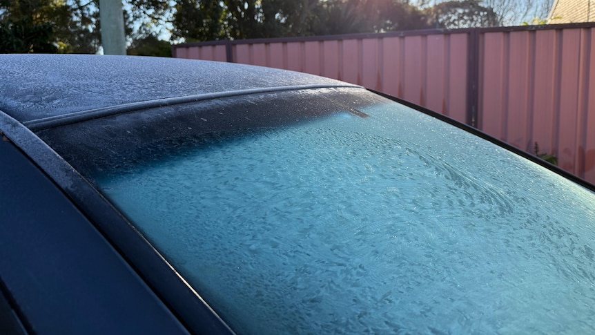
Frost is forecast to be widespread in Queensland on Friday. (ABC Southern Qld: Tobi Loftus)
Queensland temperatures are expected to remain below average into the weekend as the state's cold snap continues.
Large parts of the Darling Downs, Maranoa and Warrego areas are waking up to more heavy frosts on Friday.
The Bureau of Meteorology's (BOM) Daniel Hayes said temperatures for most of the southern parts of the state would be low single figures throughout the day.
"[Friday] morning, we are expecting to see fairly widespread frost again across the area extending out of the Darling Downs and up into the central parts as well," he said.
Oakey recorded the coldest start to the day, with -3.7 degrees Celsius at 5:30am on Friday.
Applethorpe was close behind, recording -3.5C while Kingaroy experienced -2.8C at 5:30am.
Mr Hayes said the Maranoa and the Warrego areas should also experience cool temperatures for at least a couple more days.
"In fact, we'll still be sitting down around about 2 degrees for most of the minimums at least by Sunday," he said.
Stanthorpe and Warwick were forecast to reach a low of -2C on Friday, while places such as Mount Isa would also have a cool start to the day with a minimum of 3C.
Mr Hayes said warmer weather might be a while away.
He said minimum temperatures for south-west Queensland were forecast to be about 3 to 5C below average until early next week.
"It's very much a case of less cold than actually warmer," he said.
"We'll be returning to around about the June average for those maximum temperatures, while the minimum temperatures, while they will go up a bit, they'll still be a few degrees below average."
Cooler weather attraction
Queensland Country Tourism chief executive Peter Homan said he hoped the cooler weather stuck around as tourists sought spots to warm up by a fire.
He said places such as Stanthorpe had been attracting tourists from all over Queensland.
"Whenever I speak to operators, they're all telling me that they're completely booked out for weekends, right through until about the middle of September or early October, so that's encouraging," Mr Homan said.
"There are a lot of people on the road with caravans and camper trailers."
Mr Homan said they were arriving to experience the region and see the change in seasons.
"I think that's one of the great things about this region, the change is both in colour, the sunlight and the frost, and the feeling that you get when you walk out the door in the morning and it's super cold," he said.
"I think it's something everyone wants to experience."
Mr Hayes said cooler temperatures were forecast for Friday, with the Central Coast, the Gulf of Carpentaria, and north-western parts of Queensland expected to experience below average minimum temperatures.
"We will see some of that cooler air starting to push its way north further up into the peninsula and around the north tropical coast," he said.
"At this stage, the expectation is that those areas which so far have remained above average or very close to average, we'll probably see a cooling, but not significantly below average, at most probably 1 or 2 degrees below average for most areas.
"Looking at Cairns, for instance, our temperatures will come down, but they'll basically settle at around the June average."
Cairns was forecast to reach a top of 28C on Friday, Townsville was set to hit 27C, and Brisbane a maximum of 19C.
ABC